

Published: 28th Dec, 2023
Context
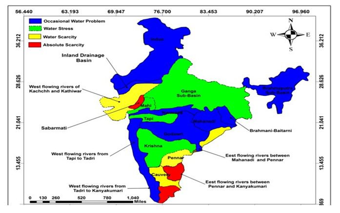
A recent study published in the American Meteorological Society's Journal of Hydrometeorology sheds light on the heightened risk of widespread flooding in river basins across peninsular India compared to the Ganga and Brahmaputra.
About
- Also, the research, conducted by the Indian Institute of Technology Gandhinagar, emphasizes the need to shift focus from localized flooding to understanding the occurrence and drivers of widespread floods.
Probability of Widespread Flooding:
1. Narmada Basin Takes the Lead:
-
- The Narmada basin stands out with the highest probability (59%) of experiencing widespread flooding.
- Followed by Mahanadi (50%), Godavari (42%), Krishna (38%), and Cauvery (19%).
2. Transboundary River Basins
- Ganga and Brahmaputra show probabilities of 21% and 18%, respectively, for widespread flooding.
Occurrence and Frequency Analysis
1. Frequency of Widespread Floods
-
- Mahanadi and Narmada river basins have the highest frequency, with 40 events during the period of 1959-2020.
- Krishna and Godavari basins witnessed over 20 widespread floods, while Ganga, Brahmaputra, and Cauvery basins experienced less than 15 events.
2. Seasonal Trends
- Strong seasonal trends are observed in widespread flood probability.
- Summer monsoon season sees flooding in all seven river basins (except Cauvery) with August being a critical month.
- Godavari, Mahanadi, and Narmada basins record flooding in July, August, and September.
3. Seasonality Linked to Rainfall
- The core monsoon region (Godavari, Mahanadi, and Narmada) receives more rainy days in July to September.
- Cauvery faces flooding in October-December due to northeast monsoon season.
Drivers of Widespread Flooding
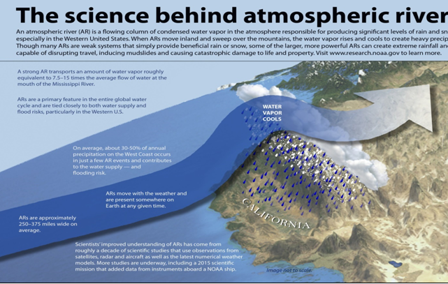
- Atmospheric Rivers and Global Examples
- The study associates widespread floods with large atmospheric circulations.
- Examples include the 2018 Kerala floods, 2022 Pakistan floods, and lower Mississippi river floods (2008, 2011, 2015–19), linked to atmospheric rivers transporting moisture from tropics to extratropics.
|
Atmospheric Rivers:
|
- Impact of Climate Change
- Widespread flooding drivers are expected to change in timing, occurrence, and probability in a warming climate.
Way Forward: Research and Adaptation
- Research on flooding Pattern: The research underscores the urgent need for a comprehensive understanding of widespread flooding patterns in Indian River basins, providing crucial insights for effective flood management strategies.
- Flood Risk Adaptation: As climate change continues, adapting to evolving flood risks becomes imperative for safeguarding vulnerable regions from the devastating impacts of widespread floods.