

20th May 2025 (13 Topics)
Urban Flooding in Bengaluru
Context
Bengaluru witnessed unprecedented rainfall, leading to severe waterlogging and floods in several parts of the city. The heavy rainfall, or climatic pattern, known as the pre-monsoon or ‘mango showers’, is reportedly caused by a mix of weather conditions, mainly due to a cyclonic circulation over the Bay of Bengal and a weather line running from Maharashtra to Kerala, passing through Karnataka. These combined factors led to widespread downpour across the region.
What are Mango Showers?
- These rains are called mango showers because they usually occur in April and May, just before the southwest monsoon sets in, and help ripen the mango crop.
- They are common across southern India, particularly in Kerala, Karnataka, and Tamil Nadu.
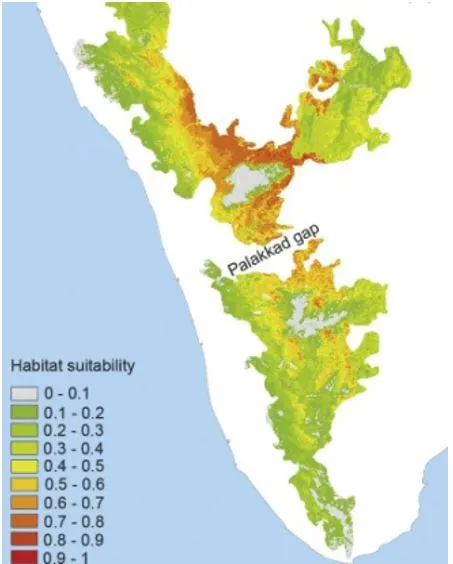
- Geographical Trigger (The Western Ghats): Bengaluru lies on the leeward side of the Western Ghats, which typically blocks moist winds from reaching the Deccan Plateau. However, a natural break called the Palakkad Gap (a 40-km-wide valley in Kerala) acts like a wind tunnel, allowing the moisture-laden winds from the Arabian Sea to flow inland towards Bengaluru.
- Urban Heat & Orographic Lift: During the summer months, Bengaluru’s land surface heats up significantly. This causes convection, where warm air rises. When this rising air meets the cooler, moist winds funneled through the Palakkad Gap, clouds quickly form and result in sudden rainfall, often in the late afternoon or evening.
Geographic features of Hyderabad
|
Why are these showers causing flooding now?
- Unabated urbanisation: Now referred to as the Silicon Valley of India, Bangalore was once also known as the 'City of Lakes'. However, increased urbanisation seems to have changed the local landscape of the city.
- The Master Plan of 2015 claimed that Bangalore once had 400 lakes. But with the passage of time, government dataclaims that it reduced to 260 by the 1940s and has now come down to 65.
- Encroachment of lakes, tanks and drains: Bangalore, owing to its undulating terrain, is home to a plethora of lakes that are interconnected by a system of canals/drains called kaluve, which ensuresthe transfer of excess water from one lake to another. Although the city lacks a perennial river, tributary rivers like the Arkavathi, Pinakini/Pennar and Shimsha help to drain the excess water from the city and into the Kaveri river. However, the encroachment of lakes lead to interference in the city drainage system.
- Uncontrolled and unregulated construction activity: The high-rise structures has led to a 30 to 40-foot deep concrete layer under the city, preventing rainwater from percolating underground and contributing to flooding in various parts of the city.
- Climate Change: Pre-monsoon rains have become more intense and unpredictable. Warmer ocean temperatures in the Arabian Sea and changing wind patterns have amplified moisture content, making even pre-monsoon showers more powerful.
- Other reasons:
- Large-scale loss of green cover
- Lack of attention towards conserving and regulating floodplains of water bodies
Fact Box: Government Measures for Urban Flooding
|
PYQQ. The interlinking of rivers can provide viable solutions to the multi-dimensional inter-related problems of droughts, floods, and interrupted navigation. Critically examine. (2020) Q. Account for the huge flooding of million cities in India including the smart ones like Hyderabad and Pune. Suggest lasting remedial measures. (2020) |
More Articles